

Atlas of Computed Suburbia
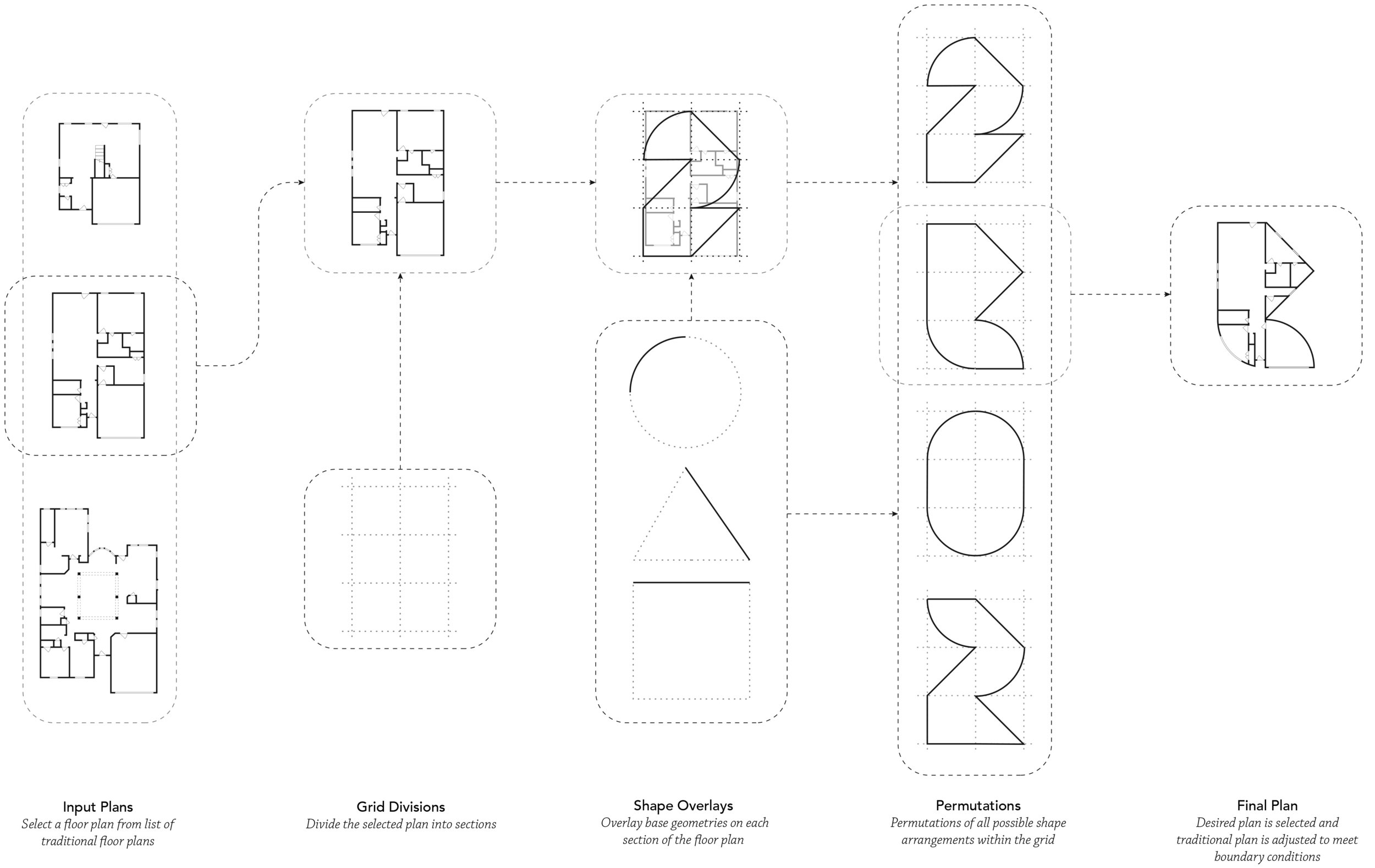
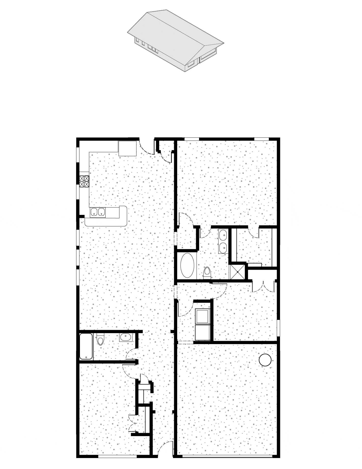
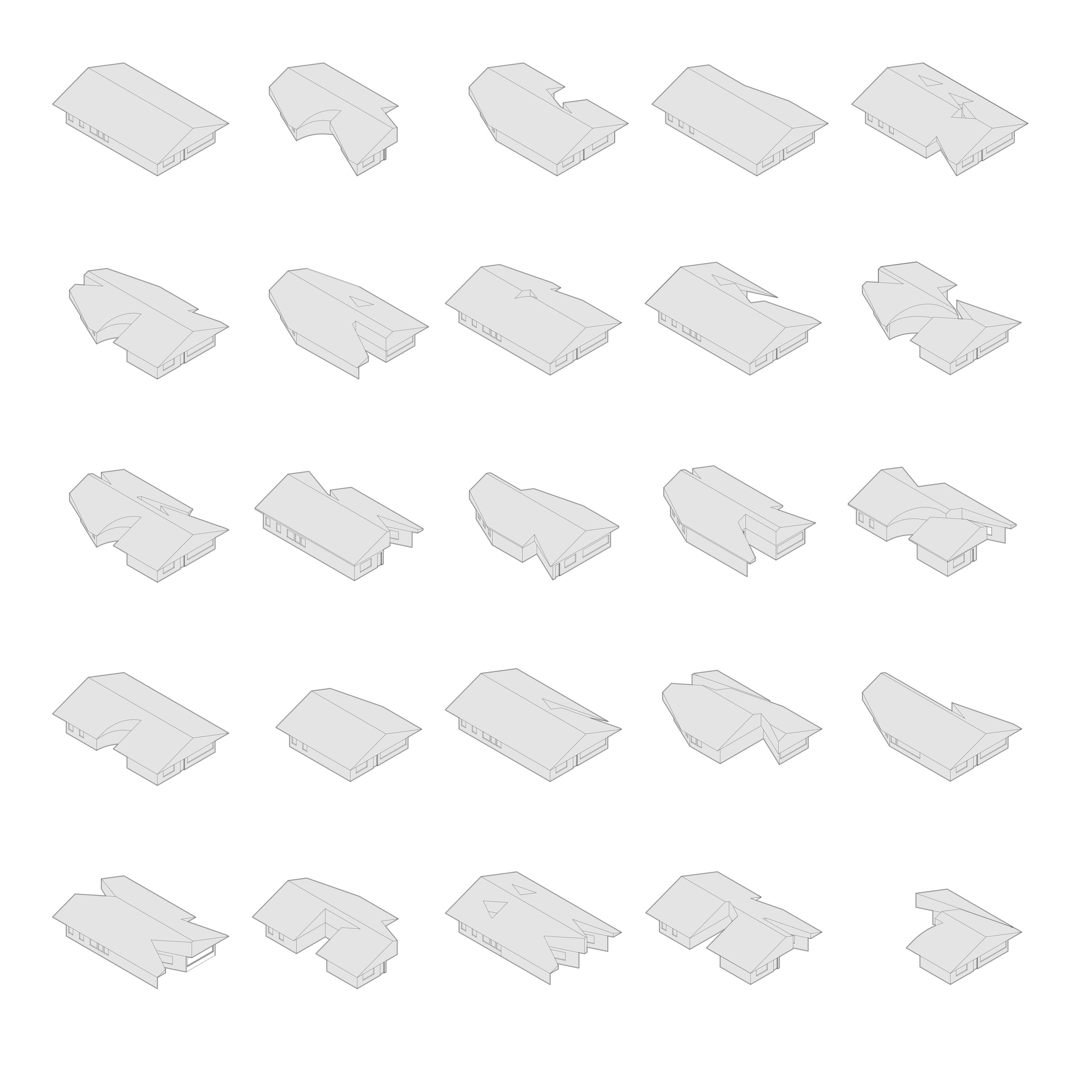
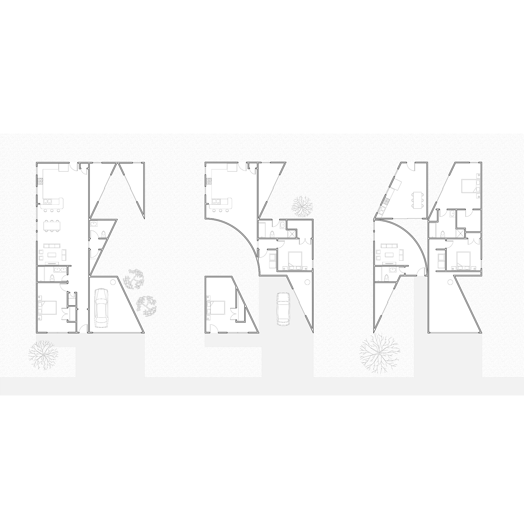
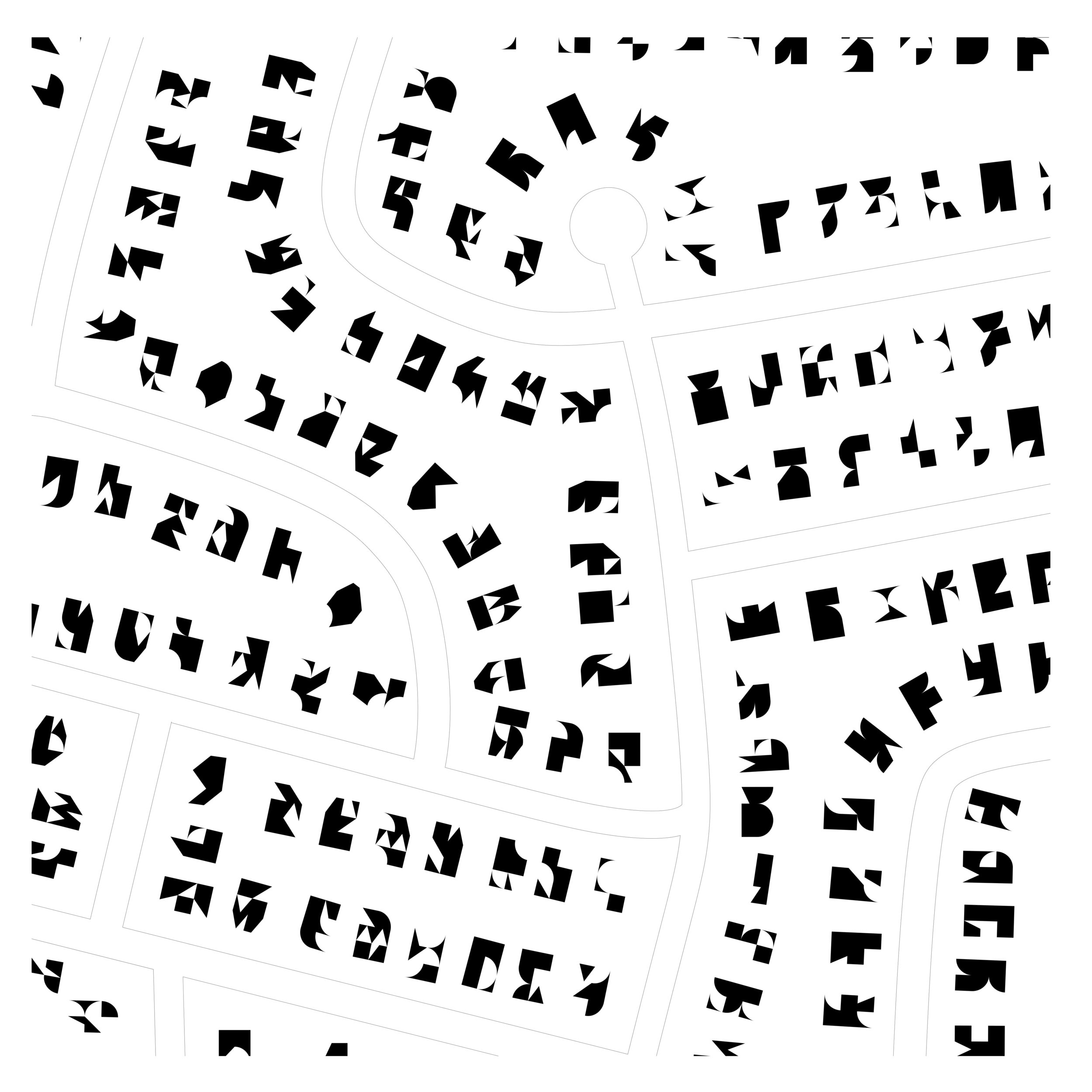
This project, derived computationally using algorithms written in Python and Grasshopper, uses subtraction as a primary means of design. Typical suburban plans are subjected to a subtraction algorithm, that subdivides the plan into quadrants, and removes geometry at random when supplied variable seed values. The resultant architecture reactivates the suburban lawn, particularly when neighboring houses are both subjected to the algorithm. The workflow for the algorithm is highly efficient: it reads an image file in Adobe Illustrator, automatically brings vector linework into Rhino, and performs the operation in Grasshopper. This workflow is based on one I developed using Doodlebug and wrote about on my blog here.
STATUS: Academic, group project with Rahul Attraya and Annabelle Guan
DATE: Fall 2017
SITE: United States of America